Rigorous Coastal Carbon Science
We measure sediment carbon stocks and canopy density across the Tanjung Bawang coastal landscape, delivering verifiable climate outcomes for global markets.
Our Scientific Methodology
Our measurement, reporting, and verification protocol combines deep soil core sampling with high-resolution satellite mapping to track carbon sequestration over decades.
Soil Core Analysis
Canopy Mapping
Community Patrols
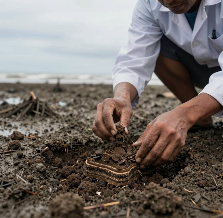
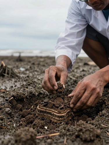
We extract deep sediment cores to measure organic carbon density down to three meters, establishing an empirical baseline.
Using multi-spectral drone imagery, we map canopy volume and track biomass growth across the entire coastal landscape.
Local fishers conduct ground-truthing and physical monitoring, ensuring data collection is continuous and community-owned.
Tanjung Bawang Carbon Stocks
Empirical data from our latest monitoring cycle demonstrates the exceptional sequestration capacity of the Ketapang mangrove ecosystem.
Key Sequestration Indicators
Sediment Carbon
Verified measurements across our active restoration zones:
Unlike terrestrial forests, over ninety percent of mangrove carbon is stored in the deep, waterlogged soil. This sediment carbon remains locked away for centuries if the ecosystem remains undisturbed.
920 Mg C/ha
Average total ecosystem carbon stock across the Tanjung Bawang landscape.
4.2x Rate
Our ongoing research is conducted in partnership with leading Indonesian and international forestry universities.
Sequestration rate compared to typical tropical upland rainforests.
Verifiable Carbon Standards
We design our projects from the ground up to meet the most stringent international carbon-market requirements, providing institutional grade data.
Rigorous MRV Framework
Technical Readiness
Our data pipeline is structured for seamless integration with global registries. We provide full transparency, allowing carbon asset managers to trace credits directly to specific community-managed forest parcels.
Our methodology is aligned with the VM0033 methodology for tidal wetland restoration. We maintain complete data-readiness, including soil organic carbon profiles, historical canopy baseline models, and community tenure maps.
Ready for third-party validation and verification.